

Climate Intelligence
Data science and geospatial analytics
Climate data processing, reproducible analysis pipelines and geospatial analytics, from station records to downscaled projections and hazard layers.
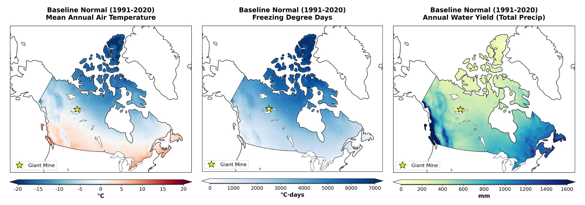
Data, maps, models and software
Data science, geospatial analytics and software behind climate and water decisions.
Data, maps, models, software and information graphics are at the heart of nearly every project at Climalogik. Our team of data scientists, geographic information system (GIS) analysts, software developers and data managers helps clients and project teams find insights in the rich data that drive our work.
We use common and advanced techniques such as data mining, text analytics, predictive analytics, data visualization, artificial intelligence, machine learning, statistics and natural language processing.
Climate archives run to many terabytes. We build the pipelines, databases and tools that turn them into indices and maps, and we hand them over so your team can rerun them.
What we do
- Big climate data analytics. Processing and analyzing ensemble archives on high-performance and cloud computing.
- Geospatial analysis and visualization. Hazard and risk mapping with tools such as ArcGIS, QGIS and Google Earth Engine.
- Imagery and raster analytics. Gridded climate, satellite and land-cover data.
- Real-time data analytics. Live data feeds turned into alerts and dashboards.
- Database design and data management. Versioned, documented data you can audit.
- Software development. Including a Climate Data Access Tool with an IDF toolbox for the Government of Alberta, and a climate risk screening tool for infrastructure projects.
- Statistics and machine learning. For downscaling, gap-filling and pattern detection.
What you receive
- Observed and gridded climate records (ECCC stations, ERA5-Land)
- Downscaled CMIP6 projections and indices
- Extremes (IDF, PMP, freezing rain)
- Hazard and exposure layers
- Emissions data
- Delivered through reproducible pipelines, dashboards and the Climate Intelligence Engine
Tools
We work with tools such as:
- Python, R and Fortran
- xarray, Dask, xclim and Zarr
- Jupyter
- ArcGIS, QGIS and Google Earth Engine
- Google Cloud and high-performance computing
- Open data and metadata standards such as CF conventions and ISO 19115
Also covers: Big data analytics · Geospatial analysis and visualization · Imagery and raster analytics · Database design and data management · Cloud and high-performance computing
Questions we help answer
- How do we turn terabytes of climate model output into indices our team can use?
- Can our analysts rerun and update the climate data themselves next year?
- How do we map climate hazards across all our assets, districts or communities?
- Which datasets should our climate data pipeline use, and how are they checked?
The work
77 indices · 82 provinces
Gov-CDR Philippines: a national climate analytics pipeline
8 hazards · 22 districts
Métis Nation of Alberta: risk assessment and Climate Map
Water Security Agency: gridded climate data update
Discuss your project
Start with a 30-minute call with a climate scientist about your question, your data and your timeline.