

Climate adaptation
Hydro-meteorological forecasting
Addressing hydrometeorological needs for building and enhancing resilience against floods and drought in a 21st-century climate.
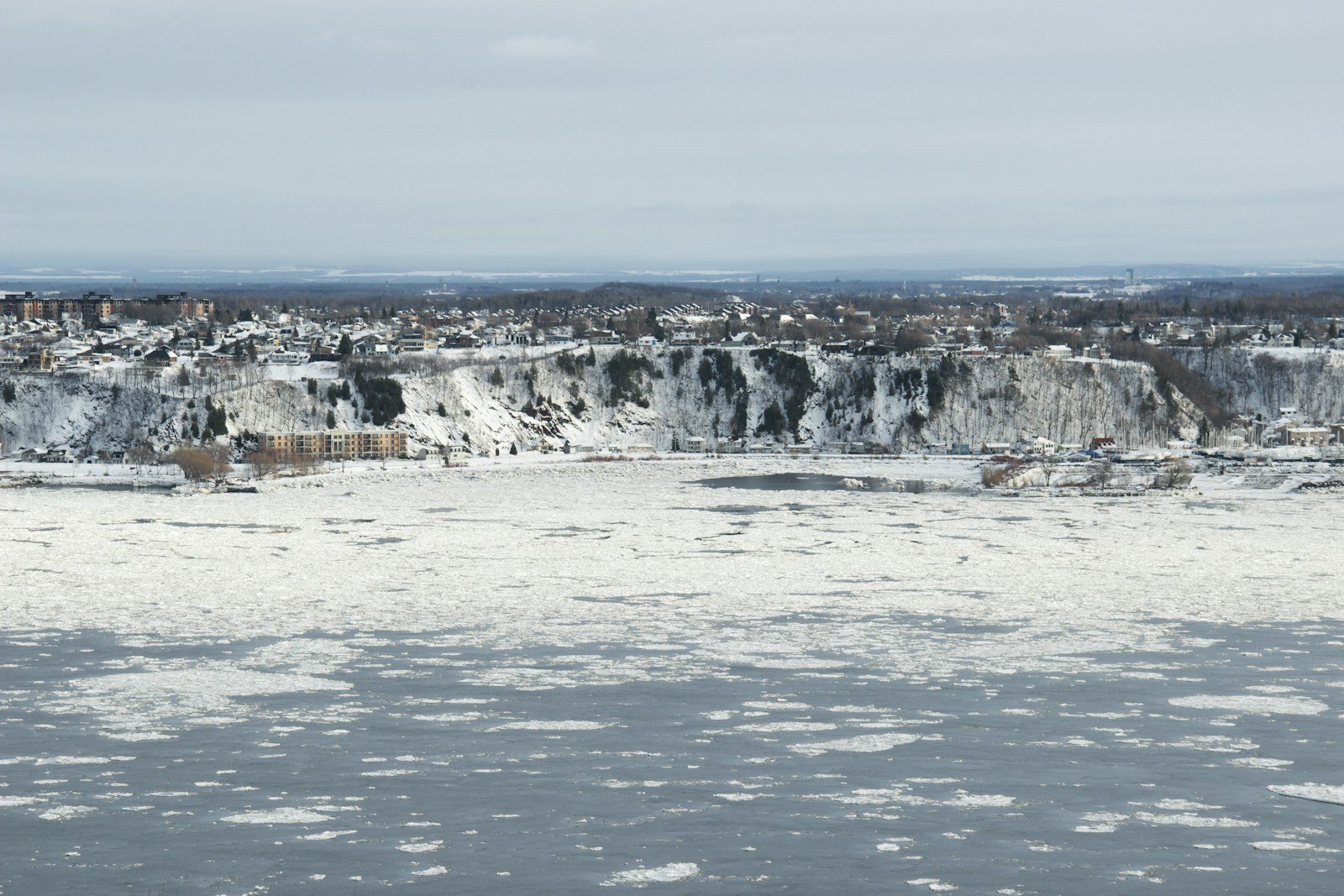
Forecasts for floods, drought and dam safety
Water resources in many Canadian watersheds depend heavily on natural storage in snowpacks and glaciers. Evidence points to an intensification of the hydrological cycle, and past warming has already changed the hydrological regimes of many Canadian river basins. Accommodating shifts in precipitation and runoff is a significant challenge for the owners and operators of dams in cold regions. Most dams are designed to operate for many decades, so understanding how climate change may affect extreme rainfall, rain-on-snow events and floods is essential to ensuring that current and future dams operate safely and efficiently well into the future.
Canada’s thousands of dams are owned by federal, provincial and territorial governments, hydropower utilities, industrial companies (including mining), municipalities and private owners. The larger dams are often used for hydropower, while many medium and small dams serve irrigation, flood control and water supply. Regardless of size, all dams must be designed, operated and maintained to avoid unacceptable risk to people downstream. Provincial and territorial river forecast centres, supported by Environment and Climate Change Canada’s weather forecasts, issue flood forecasts that civil authorities use to evacuate areas at risk, owners use to prepare critical infrastructure, and reservoir operators use to reduce flooding downstream. Coastal infrastructure is also vulnerable to sea level rise and, perhaps more importantly, to extremes of precipitation, wind and storm surge, which climate change and rising seas are likely to make worse. Flood and drought forecasting is therefore an essential service.
In most provinces, dam safety is regulated provincially, with requirements often informed by the Canadian Dam Association’s Dam Safety Guidelines. Dams in the “extreme” consequence class are those whose failure could cause large loss of life and extreme environmental and economic losses, and their inflow design flood is the Probable Maximum Flood (PMF). A major driver of the PMF is the Probable Maximum Precipitation (PMP): the greatest depth of precipitation for a given duration that is meteorologically possible over a given watershed at a particular time of year. Existing and new dams should be assessed for the effects of climate change on the PMP and PMF, and our work focuses on robust methods to estimate watershed-specific historical and future PMP and PMF values.
What we do
- Hydrometeorological forecasting. Flood, drought and inflow forecasts from sources such as ECCC deterministic and ensemble weather forecasts and AI-based weather forecast models, with data assimilation and the uncertainty stated.
- Forecasting systems. Configuration and evaluation of operational systems such as Delft-FEWS.
- River ice forecasting. Forecasts of freeze-up, breakup and ice-related flooding.
- Coastal storm surge forecasting. Forecasts of surge and coastal water levels.
- Probable maximum precipitation and flood. Watershed-specific historical and future PMP and PMF values for dam safety. See Hydrometeorological and hydrological extremes.
- Development and evaluation of flood and drought forecasting models
Also covers: Flood forecasting · Drought forecasting · Hydrological forecasting · Reservoir inflow forecasting · Data assimilation and improved climatological products · Estimation of probable maximum precipitation · Computation of probable maximum flood · Cloud and high-performance computing
The experience behind it
- Saskatchewan’s province-wide flow forecasting and reservoir operations system (Delft-FEWS) for the Water Security Agency
- Uncertainty in Environment and Climate Change Canada ensemble weather forecasts for a Yukon streamflow forecasting system
From our principal’s research at the University of Saskatchewan’s Global Institute for Water Security, his water resources consulting before Climalogik, and Climalogik projects. See Dr. Elvis Asong’s profile.
Related: Hydrological monitoring, modelling and simulation · Hydrometeorological and hydrological extremes · Flood hazard mapping and risk assessment · All services
Discuss your project
Start with a 30-minute call with a climate scientist about your question, your data and your timeline.