

Climate adaptation
Flood hazard mapping and risk assessment
Enhancing the resilience of communities and businesses to past, current and future floods through improved flood hazard mapping and risk assessment.
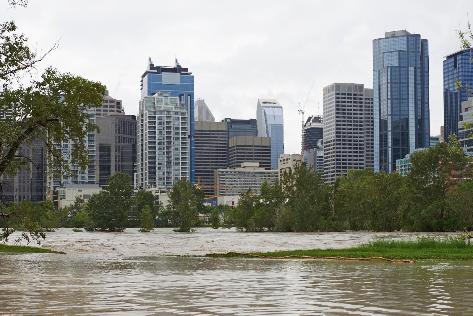
Floods: from frequency to hazard and risk
Every year, thousands of Canadians pay the emotional and financial costs of flooding. When our homes are at risk, our financial security is too. Floods are Canada’s most common and costliest natural hazard, threatening life, property, the economy, community and industry water systems, and the environment. Extreme flooding will continue to be concentrated where people have built on floodplains or low-lying coastal land, and as global warming makes extreme weather more likely, risks will expand beyond the high-risk areas known today. For towns and cities that have already flooded, a flood will no longer be a “once in a lifetime” risk but a far more frequent one.
This is the world we live in with about 1.4 °C of global warming, and Canada is warming about twice as fast as the global average. Record temperatures and record floods are not anomalies; they are the beginning of a new normal, and new records will continue to be set. What will things be like when global warming passes 1.5 °C, which is expected around 2030 at the current rate of emissions? As affected communities drain, dredge, dry out and count the cost of lost belongings, ruined homes and businesses, much needs to be done to prepare for this future. Floods that were once “100-year” events are expected to become more frequent in many parts of Canada as the climate warms.
Climalogik’s team of flood risk specialists, hydrologists, numerical modellers and climate scientists works with clients to map current and future flood risks and safeguard their communities and assets against the new normal. The knowledge, data, modelling tools and forecasting capacity needed to predict the risk and severity of potentially catastrophic floods are often lacking, and these gaps have contributed to significant losses in recent years. We work with research and cloud computing institutions to harness the latest advances in flood risk mapping to solve our clients’ flood hazard challenges.
What we do
- Climate-adjusted design floods. Flood frequency and design flows at gauged and ungauged sites, for the current and future climate.
- Inputs to flood hazard mapping. Design flows, design rainfall and boundary conditions for hydraulic models, consistent with Canada’s Federal Flood Mapping Guidelines Series.
- Flood hazard mapping and floodplain analysis. Mapping of flood extent and depth.
- Ice-jam flooding. Ice-jam flood mapping and mitigation assessment.
- Flood risk in data-scarce regions. Large-scale flood risk estimates where gauges are few.
- Reconstruction of historical floods. Peak flows and levels rebuilt from the record.
- Flood risk reduction, planning and policy. Options and priorities for communities and asset owners.
Also covers: Flood hazard mapping, modelling and forecasting · Numerical flood simulation · Statistical frequency analysis · Floodplain analysis and risk assessment · Large-scale flood risk mapping in data-scarce regions · Flood planning and policy
Related: Hydrometeorological and hydrological extremes · Hydro-meteorological forecasting · Infrastructure climate assessments · All services
Discuss your project
Start with a 30-minute call with a climate scientist about your question, your data and your timeline.